Wine Route

Gran Canaria
San Bartolome de Tirajana

· Localitation: South
· Area: 333.13 km²
· Habitants: 56.698 (2022)
February
· Humidity: 10%
· Temperature: 27º / 20º
· Precipitation: 100 mm
Gastronomy
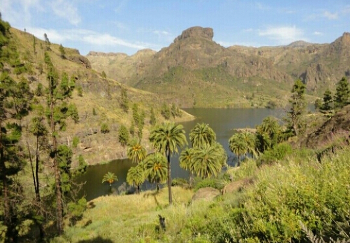
Vineyards that hide on palm tree forests and rugged cliffs, and, last but not least, distributed throughout the highest slopes of the island.
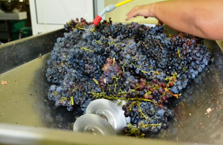
The Canary Islands have the adequate climate for a high quality wine. This is possible because it’s flexibility, the refreshing effect of the trade winds and the culture of growing at high altitude ( up to 1400m. in Gran Canaria). If you are a wine lover, let us show you the different vineyards we have lovingly selected due to their wine tradition and their heady height location. New and traditional flavours which will open a window to the traditional expert knowledge of Gran Canaria through the tasting of our best wines.Regarding the previously mentioned information we now introduce one selected wine route.
The palm forest
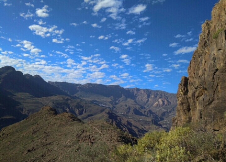
There is a winding road that takes us to these vineyards, covered with colourful leaves in spring and ocher hue appearance in winter. From these vineyards we can see the view of the mountains in the summit, its cliffs brushing the clouds and the palm tree forest dotted with the white houses of the Village of Santa Lucia. A unique landscape!.
The grape s aroma and variety allows the production of different white wines, some of which are monovarietal and with a great aroma and personality that distinguish them. The vineyards located in La Caldera de Tirajana and Fataga, originated in the 90´s. They are grown in espalier to improve its growth and aeration. These vineyards keep aging and with every vintage the wine wins in quality and nuances.
This area is distinguished by the plant of the white grape, specifically the volcanic Malvasía, Verijadiego, Albillo, Verdello, Listán Blanco, Moscatel and other types of less production. After this marvelous wine cellar has given you a taste of all its treasures, we will show you around the most beautiful spots on this area.
Hike - Pilancones Park
The pinewood of its summits constitute a habitat in good state of conservation where the majority of its poultry population is distributed, reason why it has been included in the network of special zone for protection of the birds of the EU. At the base of these summits are located some caves of ethnographic value. The park plays an important role in hydrological catchment. In the higher parts the Pino Canario predominates.
Among the most outstanding pine forest advantages are the maintenance of atmospheric humidity, it acts as a sink of C02, it avoids erosion and recovers springs. In the lower levels, below 830 m, we can find among other varieties: Opuntia (cactus), Euphorbia (spurge) and Dracaena (drago). From the terraces of Los Juncos with steep slopes and isolated topographically we contemplate exceptional panoramas of the most eastern part of the park, with the Degollada de Manzanilla and Rosiana, between Morro del Guanil and Montaña de la Negra. The park plays an important role in soil protection and aquifer replenishment. In the south area prey are abundant, some of them have a huge dimensions.
Hilly topography in whose interior are small hamlets like Ayagaures and Los Vicentes, finding places like the Cross of Agustina, with a green tonality is very unique. We speak of an enclave with a combination of colors and aromas typical of the sunrise, where we recreate our sight in a succession of small plateaus, crossed by ravines. The small springs that dot the trail are easily recognizable, because of the greenness of the juncalillos that grow in its channel, located where they end up steep slopes.
Choose the route that best suits to you
Level 1
Distancie: 3,5km
Slope: + 200m / - 100m
Easy
Level 2
Distancie: 7,5km
Slope: + 400m / - 200mMedium
Level 3
Distancie: 12,5km
Slope: + 500m / - 350mHigh
Wine Route


