Olive Route

Gran Canaria

Agüimes


·
Location: East

· Area: 79,28 km²

· Habitants: 30.742 (2022)

February

· Humidity: 52%

· Temperature: 22º / 17º

· Precipitation: 300 mm

Gastronomy

This day will truly be to experience the spectacular of Gran Canaria. When I head to the summit from the south of the island, I think I'm on some stage of the movies of the American West. True, the south of the island, it is so dry, so abrupt, so ocher and with such impressive slopes, that remind me of the Colorado Canyon in miniature. Today you have the opportunity to  experience the breathtaking scenery that Gran Canaria has to offer. 


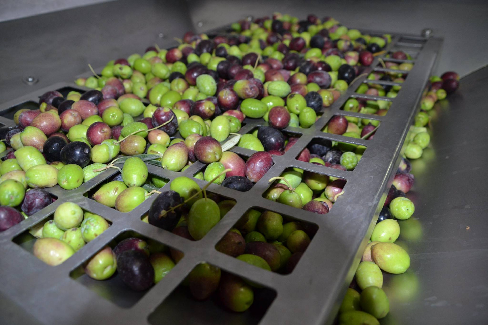
The history of olive trees in the southeast dates back to the 16th century, but the production of olive oil was lost due to the hardness of having to transport the heavy machinery of the rudimentary stone mills of that time. Centuries later, the new technologies arrived at the coasts and it was decided to promote again the extra virgin olive oil along with the marinated olives with mojo. The lands that will know in this route have about 300 olive trees, the most of them centenarians. We arrived there through the splendid Villa de Agüimes with its restored church that we can contemplate from the road. Once in Barranco de Guayadeque we can see that it is a fertile place, with beautiful vegetation and one of the historically most important places of the Guanche culture.

A place of fable, where the harmony of the landscape reigns and wherever you look you will find an olive tree with its bicolor green leaves. Here you will find olive trees of varieties such as Picudo, Picual, Manzanilla, Hojiblanca and Verdial. The planting of new types of olives, have allowed to obtain greater quality of the oil and to increase the variety of the olives in bulk. We can assure you that the culinary part is more than guaranteed. We jealously guard some of the secret ingredients that we have reserved to delight the palate of our most demanding travelers. A different type of day when you get to know an unexpected world of fragrances and flavors, in the middle of an exotic environment.

All routes include tasting, hiking, picknick, transportation, insurance and guide.

Hike Los Marteles

At the beginning of the Barranco de Guayadeque, in the highest range, the Caldera de Los Marteles, whose base is used for agriculture, is present. The hard material that makes up the slope, essentially composed of hard materials of volcanic agglomeration, sits on lava formations of circus Roque Nublo of the recent cycle, which is reflected in the great escarpments, massifs and the impressive rocks. In addition to these peculiar geoforms, hillsides and gullies, in a semicircular way, the power of water is shown, which descends progestatically from the steep walls of the caldera towards the mediations of this great basin. 

Of volcanic origin, it owes its spectacular aspect to the explosiveness of materials that conformed it: water and magma. The slopes full of terraces make up a landscape of high ethnographic value. Among the most unique birds of this area is the blue pizón (fringilla polatzeki). It is important to note the wide floristic variety of Guayadeque, species such as the genus Micronesia, to which are listed those in the book of the rest of species in danger of extinction; This is why one of the most important enclaves of the island, where the thermophilic forest survives, is the Barranco de los Cernícalos. Great presence of natural bioindicators in this soil of vegetation, space cataloged as a special natural reserve.

Choose the route that best suits to you

Level 1

Distance: 3,5km

Slope: + 200m / - 100m

Easy

Level 2

Distance: 7,5km

Slope: + 400m / - 200m

Medium

Level 3

Distancie: 12,5km

Slope: + 500m / - 350m

High


 Olive Route

Book Now